Are you an experienced hiker who is looking for a new trail to explore during your next visit to the Smokies? You might not have heard of Silers Bald before, but you’ve certainly heard of the Appalachian Trail, and this high-altitude meadow is worth experiencing for yourself, as is the iconic AT in the Great Smoky Mountains! Here is your guide to the Silers Bald hike:
| Trail Length | 9.3 Miles |
| Trail Difficulty | Challenging |
| Trail Highlights | Mountain Views, Backcountry Camping |
Directions to the Trailhead
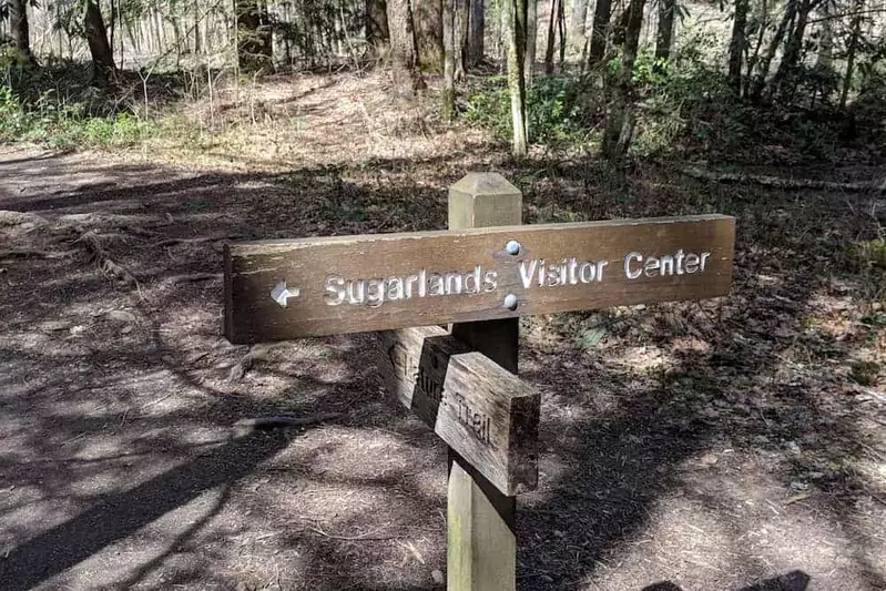
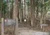
Start at the Sugarland Visitor Center and drive 13.2 miles on Newfound Gap Road. This is a stunning scenic drive with lots of scenery. You will then turn right onto Kuwohi Road and continue for 7 miles to the parking lot. The Silers Bald hike starts at the Forney Ridge trailhead, which is at the far end of the Kuwohi parking lot. Because Kuwohi is a popular spot, it is a good idea to arrive early and get a good parking space. Don’t forget your Smoky Mountain parking pass!
Trail Description
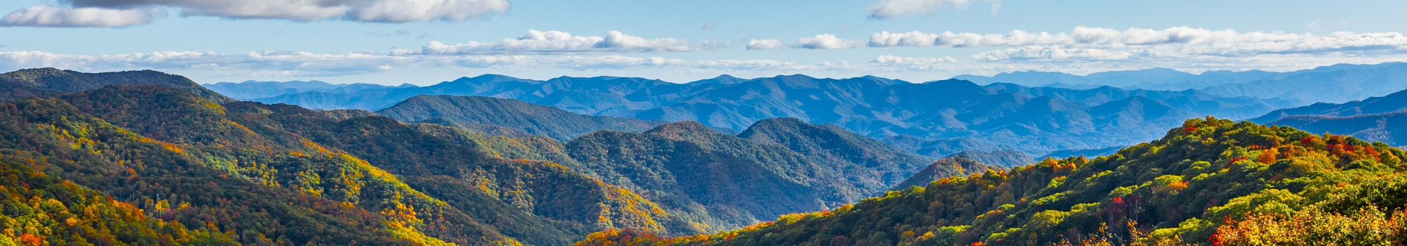
The Silers Bald hike is challenging, as the route is 9.3 miles roundtrip with more than 2,000 feet of elevation gain. You will travel on the Forney Ridge Trail for less than half a mile before turning right onto the Smoky Mountain part of the Appalachian Trail. You will pass junctions for many trails, such as the Goshen Prong Trail. Be sure to stay on the Appalachian Trail path. You will be near the hike’s namesake at more than 4.5 miles from the trailhead. Look for a large rock that is the U.S Geological Survey Marker. Keep in mind that there is a very steep part leading up to the summit of Silers Bald, but the hard work will pay off when you see the stunning scenery in a meadow 5,571 feet in the air. The bald is named after Jesse Siler, a North Carolina native who grazed sheep and cattle on the mountains in the 1800s. Fun fact: there’s another bald named Siler Bald in North Carolina’s Nantahala National Forest that is named for Jesse’s brother William!
Things to See
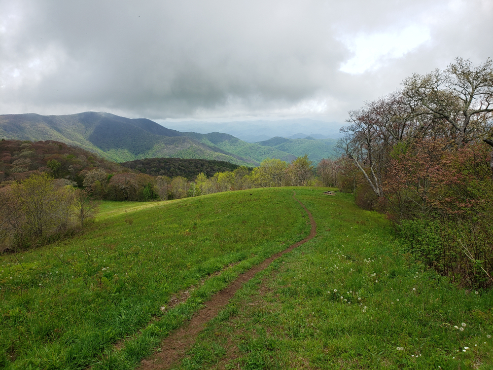
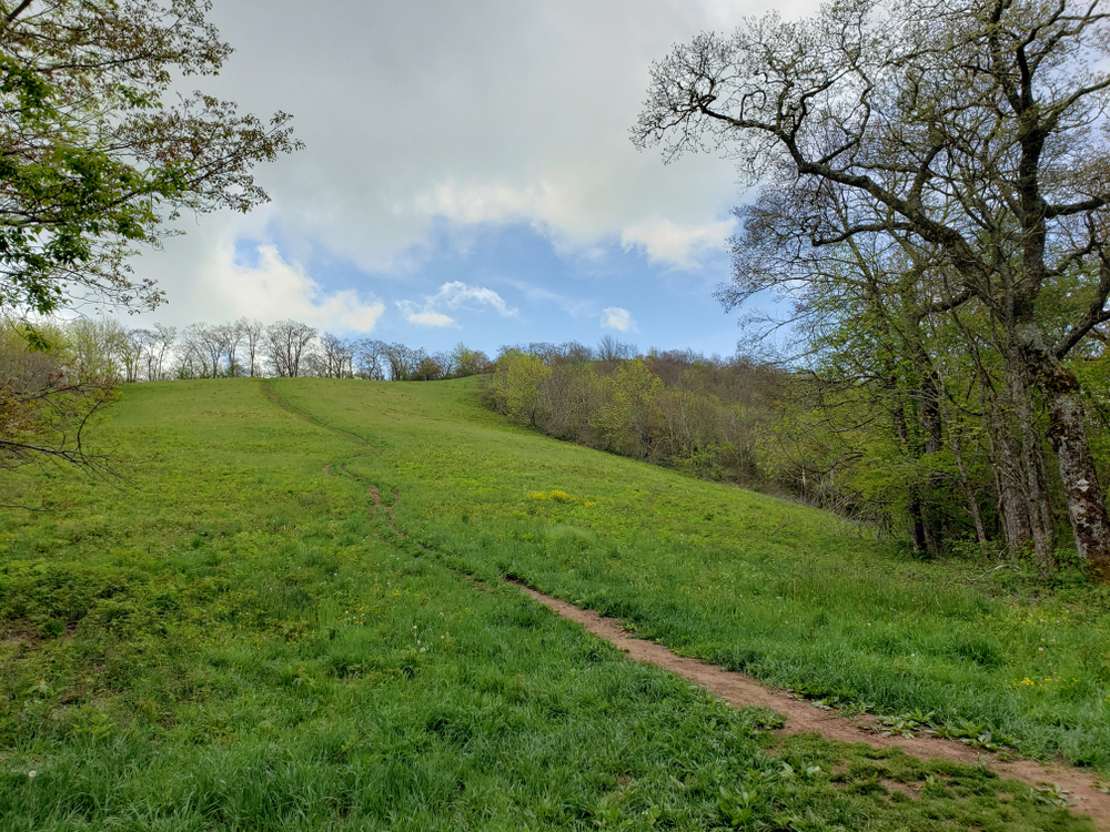
What can you see on the way to Silers Bald? The Silers Bald Shelter is a stone camping shelter along the route. It has a fireplace, a water source, and bear cables. While it is typically used by people hiking the entire Appalachian Trail, the Silers Bald Shelter is also great for backcountry camping in the Smoky Mountains. Keep in mind that the backcountry campsites are only open during the summer months. While you’re hiking to Silers Bald, you have the chance to see even more stunning scenery. Kuwohi is one of the popular spots nearby, which is the highest point in the national park. Go up into the observation tower on a clear day to see mountain views for more than 100 miles. You should also check out Andrews Bald. This is another meadow in the Smokies accessible from the Forney Ridge Trail. It has a height of 5,920 feet.
Now you know all about the hike to Silers Bald! Want to know about more routes to take? Explore our list of the best trails for backpacking in the Smoky Mountains!