
Great Smoky Mountains National Park has many challenging trails for experienced hikers. If you’re looking for a longer hiking trail, we’ve got a great recommendation. Read on to learn more about the Sugarland Mountain Trail and how you can hike both the upper and the lower portions of the trail!
Two Portions, One Long Hike
The entire Sugarland Mountain Trail is nearly 12 miles long, stretching from Kuwohi Road all the way up to Little River Road near Laurel Falls! If you’re not ready to commit to a 12-mile trek, you’ll be happy to know that you can choose to hike just the upper portion or the lower portion for a shorter trip. Since these are an out-and-back style trail, you get to decide how many miles you hike before you turn around! This guide breaks down the trailhead locations and trail highlights for each portion, so you can decide which one you want to try!
The Upper Sugarland Mountain Trail
Trailhead
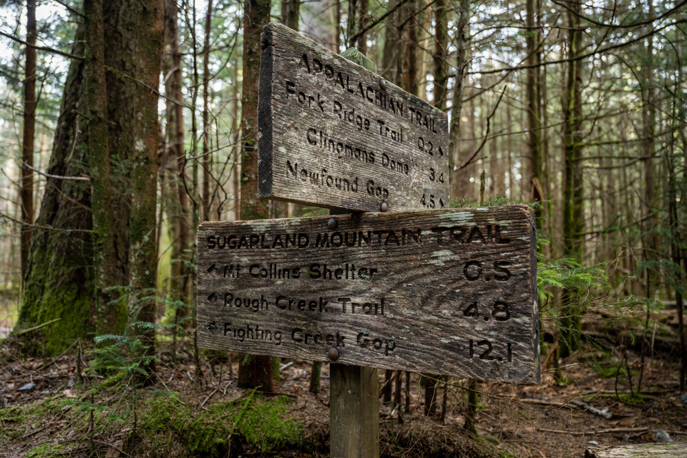
The upper portion of the Sugarland Mountain Trail begins at a higher elevation than the lower portion and gains about 1,000 feet of elevation. The trailhead is located on Kuwohi Road across from the trailhead for the Fork Ridge Trail. You will hike a short distance on the iconic Appalachian Trail to get to the Sugarland Mountain Trail.
Trail Description
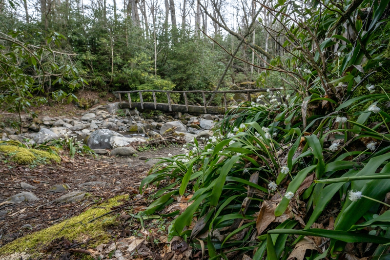
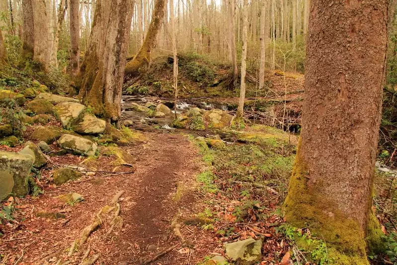
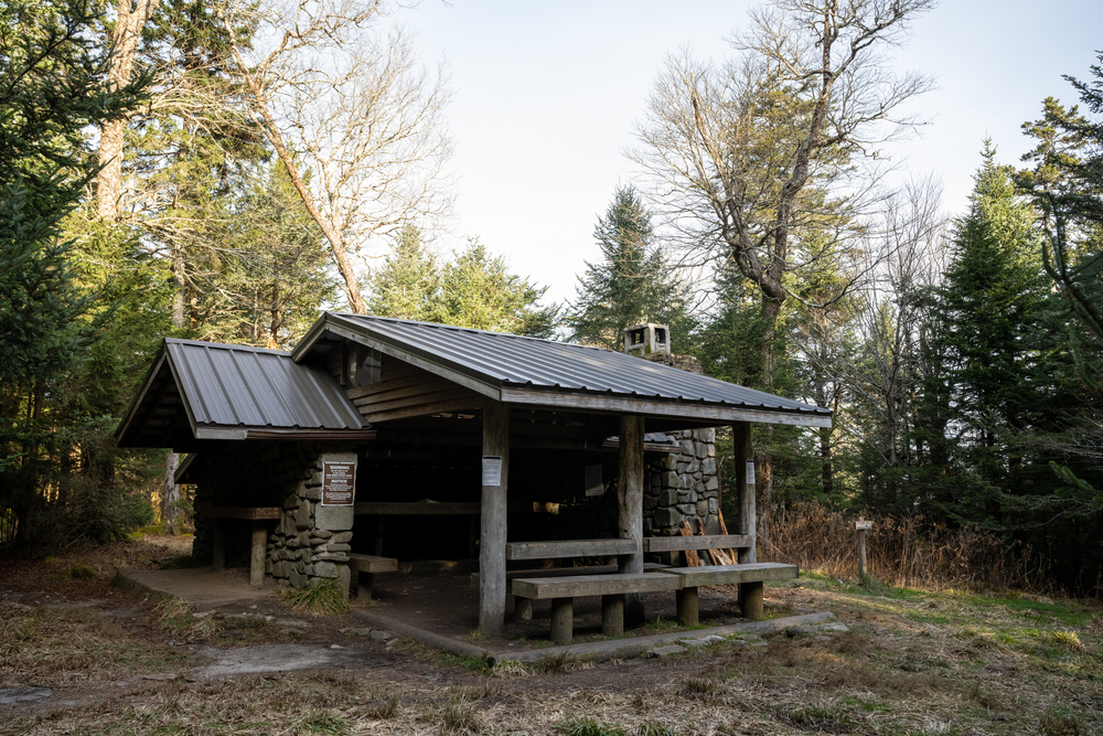
In the first mile, hikers will pass the Mount Collins backcountry shelter. The terrain begins to ascend after the first mile, becoming rocky in some areas. The trail descends briefly into a lush forest before ascending again near the end at 3.5 miles from the trailhead. Once you take a left, you will be treated to views of Gatlinburg, with Newfound Gap Road directly below you. There are pretty springtime wildflowers in this area, so keep an eye out, especially for white trilliums!
The Lower Sugarland Mountain Trail
Trailhead
The lower portion of the Sugarland Mountain Trail features an impressive 1,500 feet of elevation gain, and you can access this end of the trail in the Elkmont area of the national park. To reach the trailhead, drive on Little River Road to the top of Fighting Creek Gap. The parking area for the Sugarland Mountain Trailhead will be on your left, right across from the Laurel Falls trailhead.
Trail Description
The trail starts off with a very steep 550-foot climb. The trail begins to level out at almost 2 miles from the trailhead. Admire excellent views of Mount LeConte and Brushy Mountain. As you continue on, you will see views of Sugarland Mountain. The summit is 5,494 feet high. At 3 miles from the trailhead, you will reach Huskey Gap, where you can take a slight detour to see Huskey Branch Falls before turning back.
Fun fact: Before the national park was established, this area was home to a small community with a log schoolhouse!
Tips For Hiking the Sugarland Mountain Trail
- You will need a Smoky Mountain parking pass for your vehicle. You can print it out at home or purchase one at the park.
- Beginning your hike early in the morning means that you can beat the crowds and take advantage of the cooler temperatures. You also won’t have to worry about running out of daylight.
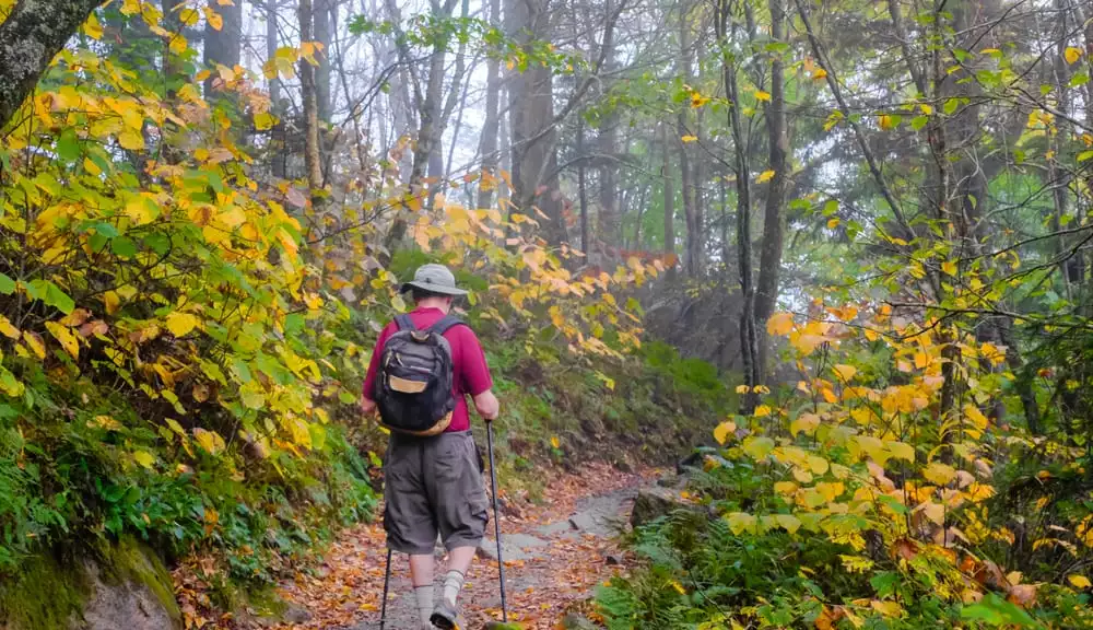
- Both of these routes have significant elevation gain, so it is important to pace yourself. Go slow and enjoy the views. Wear sturdy shoes and bring trekking poles to help keep your balance.
Now you know all about hiking both portions of the Sugarland Mountain Trail. Do you want recommendations for longer, more difficult trails? Here is a list of the best trails for backpacking in the Smoky Mountains.