
Take a hike up the Alum Cave Trail and you’ll be treated to exciting things soon and often! From seeing mountain views to resting underneath 80 foot tall cliffs this trail never fails to be fun and exciting! Keep reading so you can know what to expect along this hike!
| Round Trip Length | 5 Miles |
| Elevation Gain | > 500 feet |
| Trail Highlights | Mountain Views, Geological Formations |
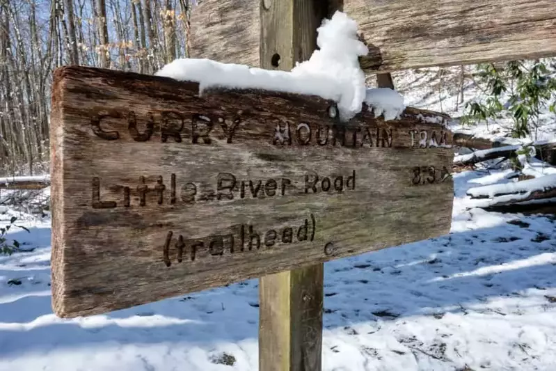
Trailhead: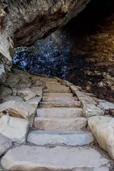
Drive 8.6 miles on Newfound Gap Road from Sugarlands Visitor Center. You will see parking for the trail head. This is a popular hike so you you can expect the parking lot to be full and see many cars parked alongside the road.
Trail Description:
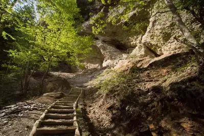
Alum Cave Trail is 5 miles roundtrip. From the trailhead you will follow a gentle incline up and along Alum Cave Creek. After just over a mile, you will reach Arch Rock. Arch Rock is the first exciting highlight of the hike. The rock was formed by freezing and thawing and erosion of softer rock. So, the trail passes under and through the rock up a staircase. This staircase is narrow so be mindful of other hikers at this point.
Once you make it past Arch Rock the trail will become steeper. At two miles from the trailhead hikers will reach a rock out crop called “Inspiration Point.” This a great place to view the rugged valley while surrounded by mountains.
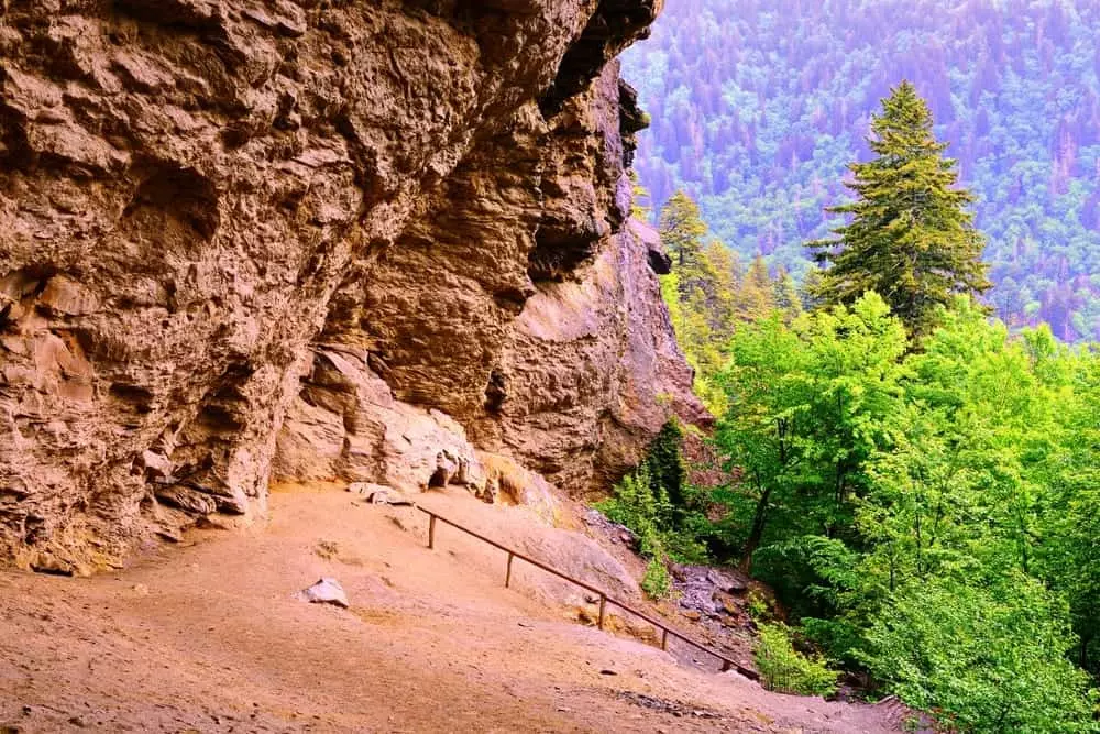
Less than half a mile later, you will reach the last set of stone stairs that lead up to the Alum Cave Bluffs. The bluffs are over 80 feet tall! It’s under the bluffs that you can find some shade, and sit down to relax and enjoy a snack.
After the Alum Cave Bluffs
You can actually go beyond the Alum Cave Bluffs. If you follow past the Alum Cave Trail you will begin your ascent to Mt. LeConte! If you wish to continue to Mt. LeConte, you will be rewarded with spectacular mountain views and get to explore beautiful woodlands. However, this will add an extra fives miles to reach the summit of Mt. LeConte. You can also expect steep inclines as you gain a lot of elevation in that short 5 miles. At the summit of Mt. LeConte you can rest and explore the LeConte Lodge which sits at 6593 feet above seal level!
Trail Map
Use the Alum Cave Trail map below to find your way to the trailhead and hike to the Alum Cave Bluffs and Mt. Leconte!
Get our downloadable Alum Cave Trail map here!
Tips for Visiting:
– Wear close-toed shoes for this rocky hike.
– Bring plenty of water so you can stay hydrated!
The hike up the Alum Cave Trail is a rewarding one! From the mountain views to the awesome geological formations this trail offers a lot to see in just five miles. You can even hike up this trail in the winter, just be wary of ice! If you enjoyed the view from this hike, we invite you to explore other hikes in the Smoky Mountains that offer fantastic mountain views!