
If you’re one of the 5 million people who visit Cades Cove every year, you have probably explored some of the hiking trails nearby! Experienced hikers seeking a hike with rewarding mountain views should keep reading because we are going to tell you about one of our favorite trails – the Bote Mountain Trail to Spence Field:
| Trail Length | 13.8 Miles |
| Trail Difficulty | Strenuous |
| Trail Highlights | Mountain views, wildflowers |
Directions to the Trailhead
There are actually two different routes you can take to reach the Bote Mountain Trail. If you’re coming from Gatlinburg, we suggest traveling northeast on US-441; after taking a left and a right, you will turn right on Little River Gorge Road and continue on it for 17 miles. It will eventually turn into Laurel Creek Road. Stay on this road for 3.6 miles and then look for the Bote Mountain trailhead on your left, across from the Schoolhouse Gap trailhead.
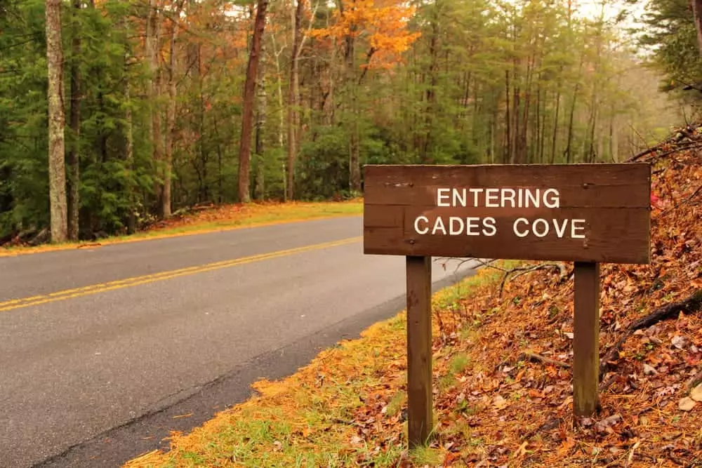
You can also start your hike in Cades Cove and reach the Bote Mountain Trail via the Anthony Creek Trail, which can be found in the Cades Cove Campground area. This is the most convenient option if you’re already planning to visit this popular area of the national park. Whichever route you choose, make sure you have a Smoky Mountain parking tag on your vehicle before heading out! Also, since this hike will take all day, we recommend starting early in the morning so you don’t have to rush and can take your time admiring the views at Spence Field!
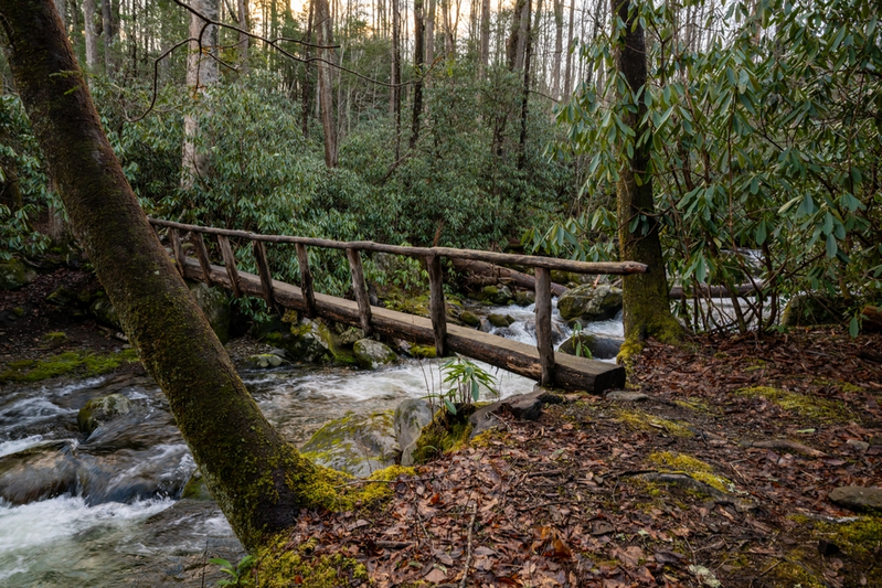
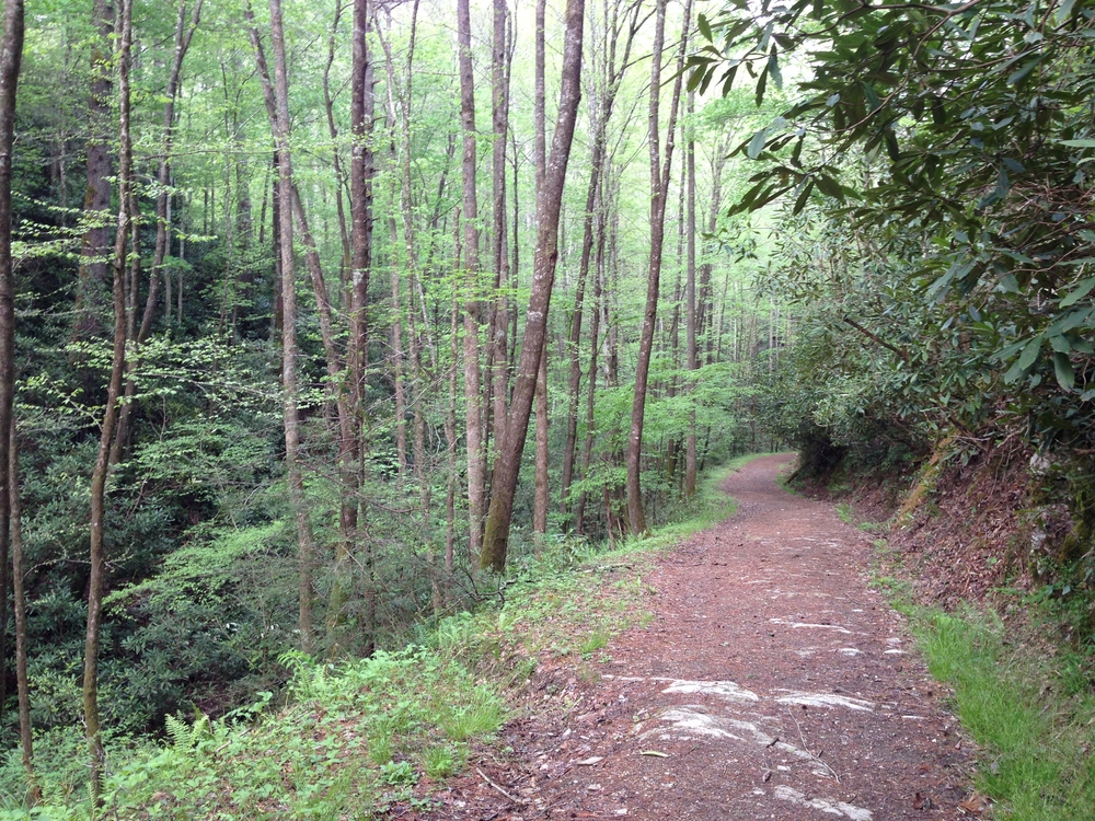
Trail Description
The Bote Mountain Trail is ideal for experienced hikers, as the route is just under 14 miles roundtrip with 3,500 feet of elevation gain. This hike is a steady uphill climb, with many rocky sections, so wear sturdy closed-toed shoes to help maintain your balance. Along the way, you’ll see gorgeous wildflowers from spring all the way until the fall! Eventually, this trail intersects with the Appalachian Trail, and you can choose to either take a right and head to Spence Field or take a left and head up to Rocky Top on Thunderhead Mountain.
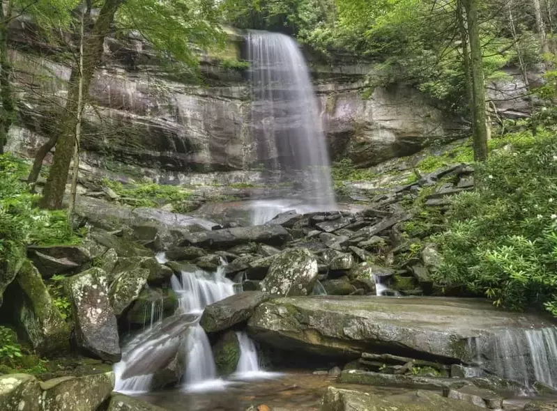
Highlights of Bote Mountain Trail
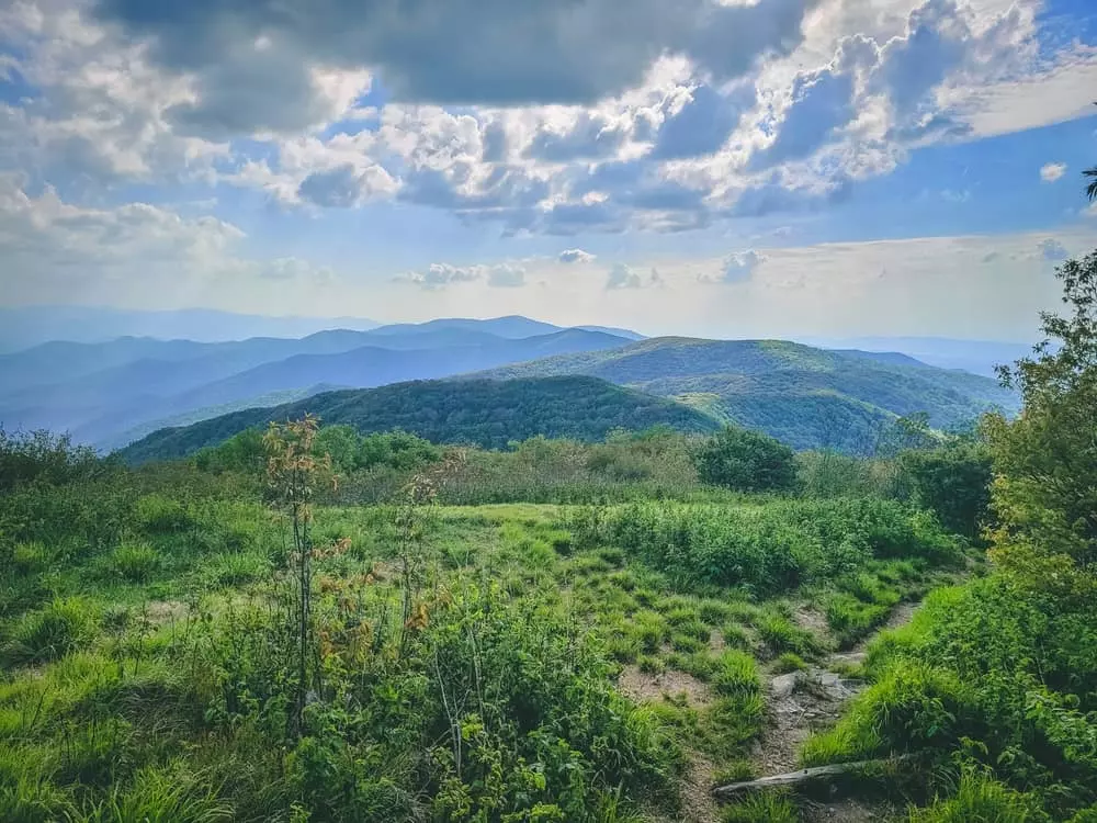
Many may argue that the overlooks in this area offer the best views in the entire Great Smoky Mountains! Spence Field, a high-elevation meadow that sits at 4,920 feet, is a great place to relax, take photos, have a picnic, and enjoy stunning mountain views. If you have a bit of energy left, you really should go the last bit further to Thunderhead Mountain. At 5,527 feet high, the knob on the western part of the mountain’s summit ridge is called Rocky Top– yes, that Rocky Top!
History of Bote Mountain Trail & Spence Field
Spence Field is named after James Spence, a resident of Cades Cove who brought his cattle up the trail and used the lush meadow as a pasture for his livestock. Another fun fact– Bote Mountain Trail was originally meant to be a road connecting the mountain communities! Once the trail was made, construction for the road was abandoned, and a new area was chosen for the road, which eventually became Newfound Gap Road!
Now you know all about hiking the Bote Mountain Trail to Spence Field! Want to learn about other Cades Cove hiking trails? Explore more Smoky Mountain hiking trails near Cades Cove that you have to try!