
If you love hikes with waterfalls or other water features, you’ll have to take some time to explore Meigs Creek Trail, a moderate trail located near Townsend and Gatlinburg TN. Learn more about hiking Meigs Creek Trail in the Great Smoky Mountains.
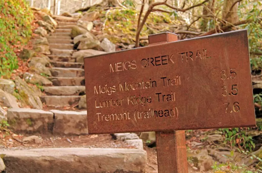
 Trailhead
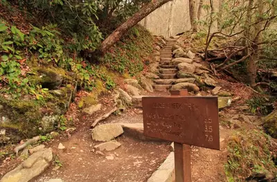
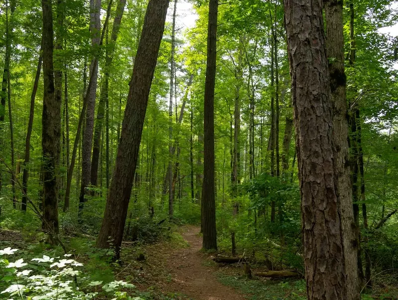
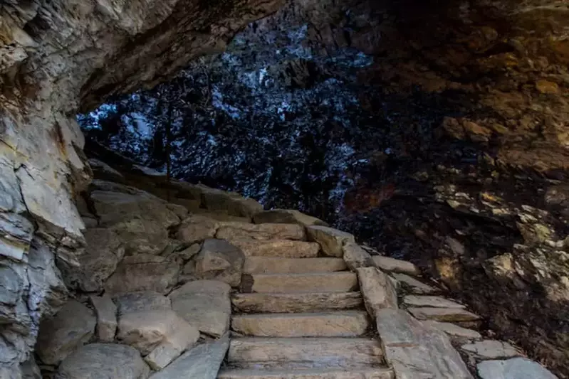
The trail is a back and out trail that spans 6.5 miles. In order to find the trailhead for this trail, you’ll want to start from the Townsend “Y” or the Sugarlands Visitor Center. From the “Y”, you’ll drive 5.8 miles, and from the visitor center, you’ll drive 11.5 miles. Both routes will lead you to the parking lot for the Sinks. The Sinks area is a place where you can find a 15-foot cascade of water that looks as if it is falling from a faucet. This area is also popular for swimming in the Smoky Mountains! If you do decide that you want to take a swim before or after your hike, take care to do so safely and not get close to the falling water. Once you find the stone steps, your hiking adventure of Meigs Creek Trail will begin!
Trail Description
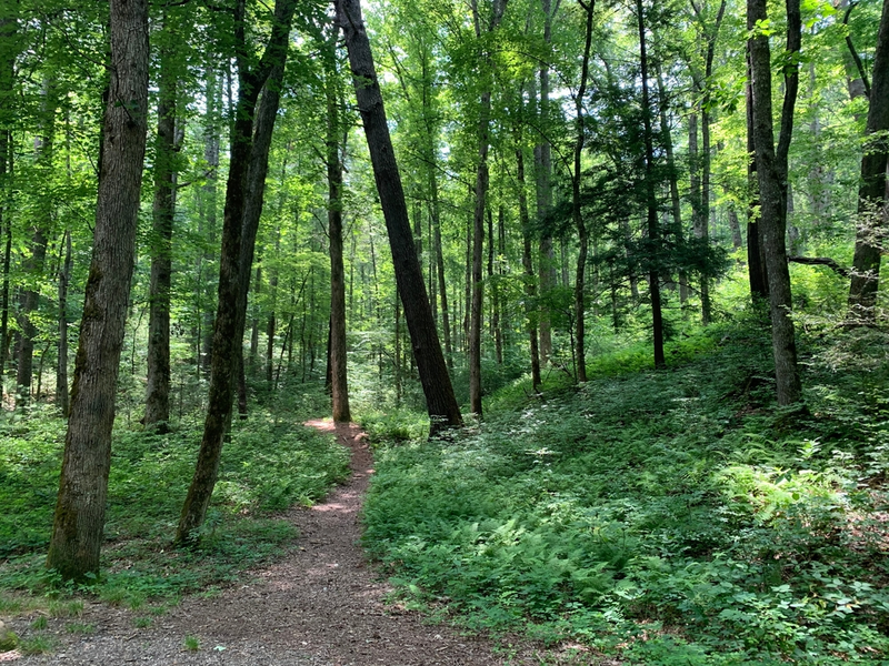
After going up the steps, your hike will gradually descend into a wet and muddy path. As you go forward, you will end up going along a ridge where you’ll catch a view of the Little River to your right. Not too far after that, the trail will join up with Meigs Creek. At that point, you will start to go about 1.5 miles with plenty of creek crossings, so make sure you have some great footwear and any other important hiking gear you’ll need. The trail eventually ends at Buckhorn Gap, but you do have some options to keep hiking beyond the trail. The Meigs Mountain Trail will lead you to the left, while the Lumber Ridge Trail will lead you to the right. If you don’t want to venture on either of those trails, you can turn around and find your way back to your starting point at the Sinks.
More Information About the Trail
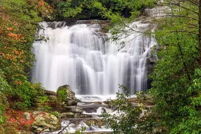
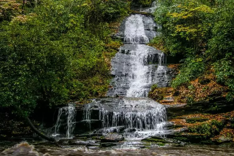
When you hike this trail, you will experience elevation changes of 1,400 feet over the course of the full hike. As noted, the trail features several water crossings and mountain views along the way. Don’t forget to pay a visit to Meigs Falls, which is only 2 minutes away from the trailhead. Also, if you need a break during your hike, you also have the opportunity to go fishing along the way! The best time to explore this trail is between March to November, especially during any dry periods. Because you can cross creeks almost 20 times along this trail, you will want to hike it with caution, as the creek can be anywhere from a few inches to a few feet wide. Be sure to check that the trail is open when you want to explore it too. It is closed whenever you cannot access Little River Road that connects the Townsend “Y” and Sugarlands Visitor Center.
Hiking Meigs Creek Trail is one of the many trails the Smoky Mountains has to offer. Looking for an easier hike in the Smokies? Consider hiking the Laurel Falls Trail in the Great Smoky Mountains National Park!