Looking for a trail that’s not too difficult but still gives you beautiful features of the Great Smoky Mountains? You should hike the Spruce Flats Falls Trail! You’ll get to see a beautiful waterfall and maybe even spot some wildlife along the way. Find out more about hiking the Spruce Flats Falls Trail here:
| Round Trip Length | 1.8 Miles |
| Elevation Gain | 413 feet |
| Trail Highlights | Waterfall, nature |
Trailhead
From Townsend, drive on Laurel Creek Road towards Cades Cove. Turn left towards the Great Smoky Mountains Institute at Tremont. Drive 2 miles, then turn left into the Great Smoky Mountains Institute. Drive across a narrow bridge, and look for a small parking area on the right. Just beyond the parking area, the Lumber Ridge Trailhead is located along the gravel road.
Trail Description
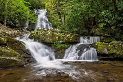
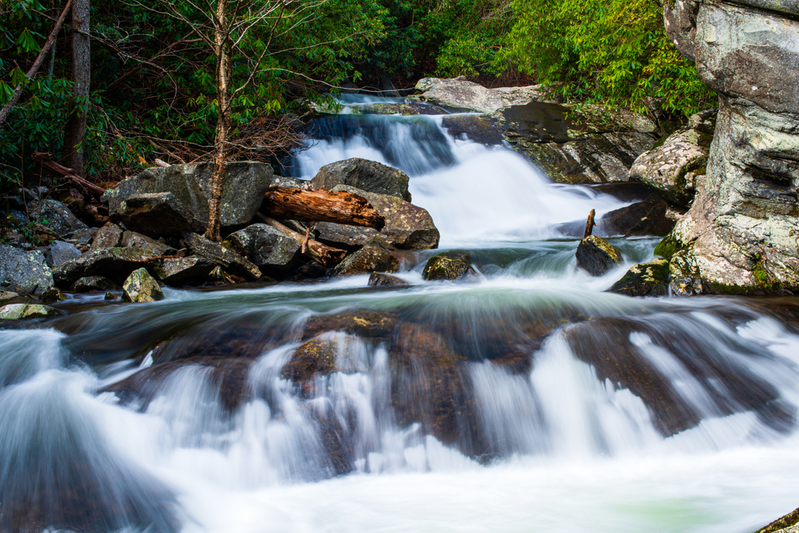
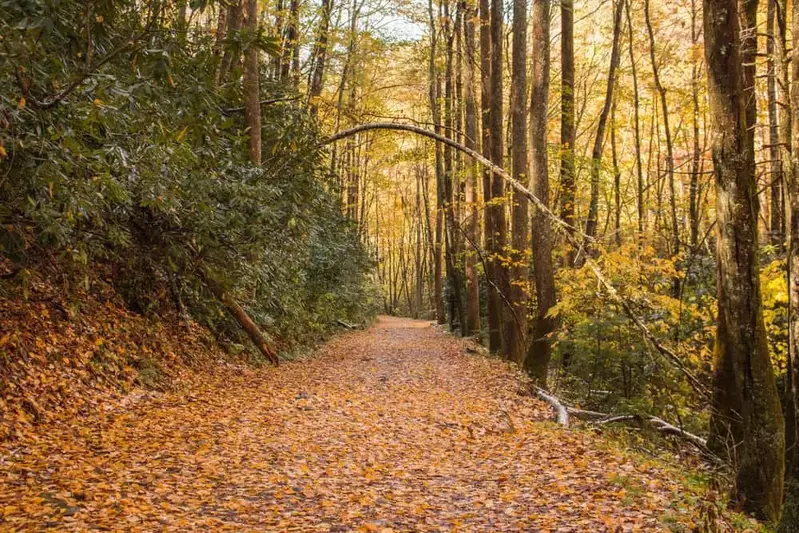
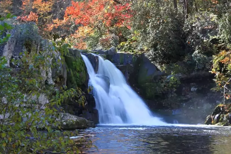
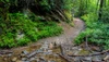
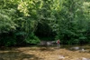
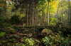
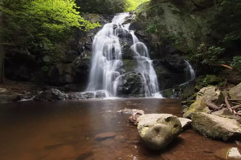
The roundtrip length of this out-and-back trail is 1.8 miles. It is considered easy to moderate. The trailhead is on the other side of the Great Smoky Mountains Institute building. About 20 yards from the trailhead, you’ll come up on the Buckeye Trail Junction. To continue to Spruce Flats Falls, turn right. There will be another split in the trail; you should turn left. Right before you get to the waterfall, the trail starts to descend. You’ll then come up on Spruce Flats Falls. The waterfall has four separate tiers and stands at 30 feet tall. Water spills into a pool at the bottom of the falls, which runs into the Middle Prong of the Little River.
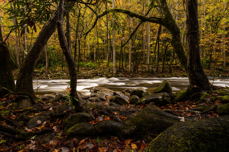
Many people see wildlife along this trail since it isn’t heavily trafficked. Expect to see butterflies, birds, snakes, and possibly even bears along the trail. Once at the falls, you’ll see fish and salamanders. In addition to wildlife being found along this trail, you will also find old forest growth, meaning there are large trees in this area. You will also walk beside the Little River, giving you a great view to look at while you hike. There’s even a spot along the trail where you can see a view of some of the mountains.
Things to Know About Spruce Flats Falls Trail
Tremont, the area where Spruce Flats Falls Trail is located, used to be used for logging before the land was made into the national park.
There are a few areas along the trail where it becomes rocky and ragged. Be careful when traveling these areas, and be sure to wear appropriate shoes.
This trail actually isn’t on the official park map, but the trail is well worn and easy to follow.
Trail Map
Since Spruce Flats Falls Trail isn’t on the official national park map, use this map to find your way to the trail!
Although Spruce Flats Falls Trail isn’t long or difficult to climb, you’ll see one of the most beautiful waterfalls in the park. Want to try other hiking trails with waterfalls? Check out these 6 hiking trails with waterfalls.