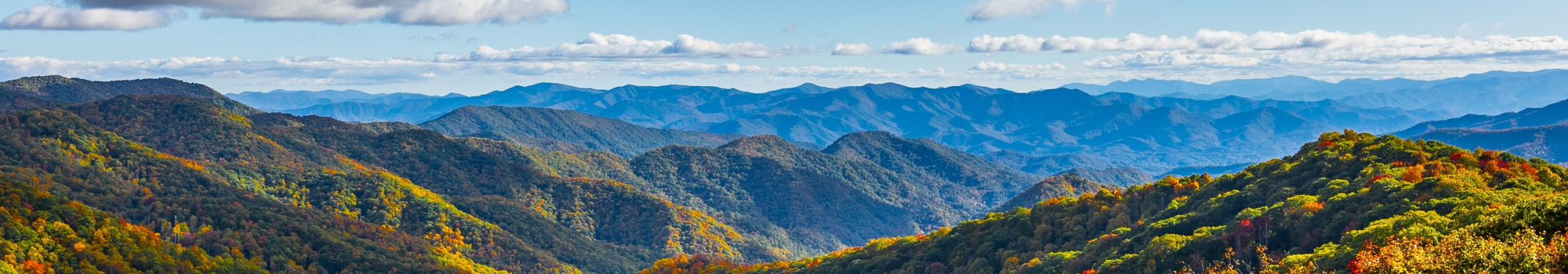
If you need some ideas for your next hike in the Smokies and want to explore a new area of the national park, let us help! Keep reading to learn all about one of our favorite spots, and pick a scenic trail that suits your skill level. Here is a list of 3 Great Smoky Mountain hikes in the Tremont area:
1. Spruce Flat Falls
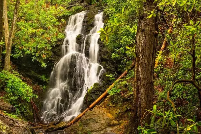
The moderate hike to Spruce Flat Falls is an out-and-back trail that is around 2 miles round trip with an elevation gain of 460 feet. Before setting off, make sure to get a parking pass for your vehicle since you’ll be parked longer than 15 minutes. To reach the trailhead, walk up the gravel service road in the Tremont Institute Visitor Center parking lot. Go left at the Tremont dorms onto the Lumber Ridge Trail. You’ll then come to a split in the road, and the sign for the Spruce Flat Falls Trail will be on the right. Hikers will reach the trail’s namesake at about 0.7 miles from the trailhead. Spruce Flat Falls is 30 feet tall with water rushing down in 4 separate tiers. While the trail is short, it does have some steep and rocky sections. Sturdy hiking shoes will help you maintain your balance.
2. West Prong Trail
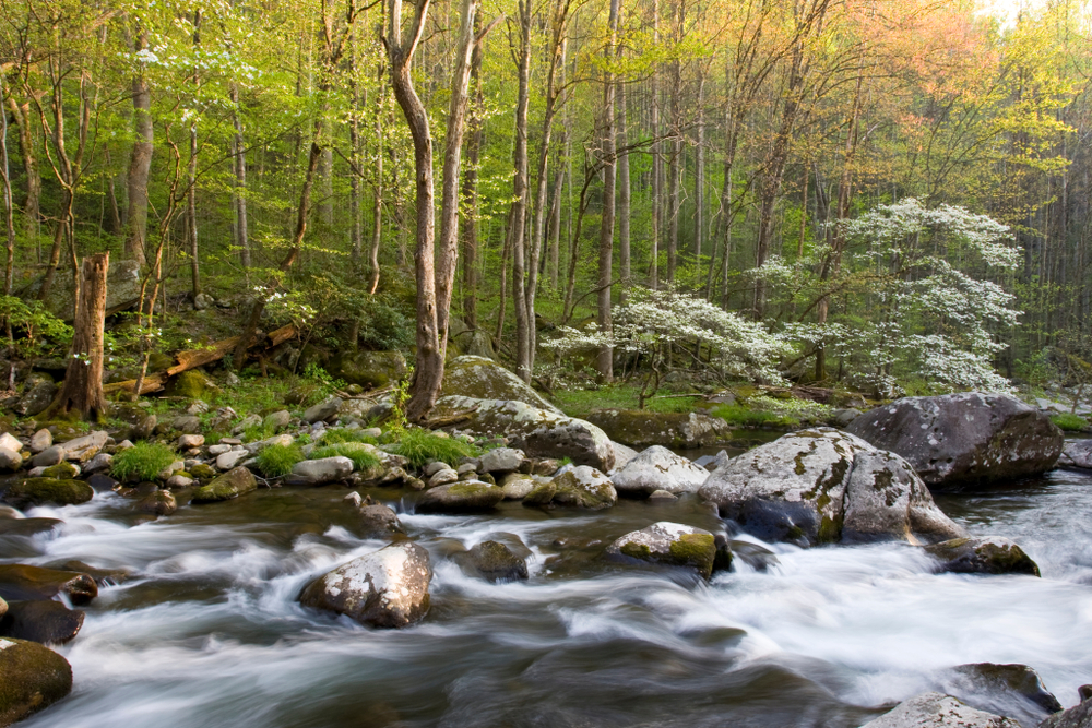
Tremont in Great Smoky Mountains National Park is also where you’ll find the West Prong Trail. This is another out-and-back trail that is 5.4 miles round trip and has 1,375 feet of elevation gain. The trailhead is located on Tremont Road just before the Tremont Institute. The first part of the trail is quiet. As you progress, you will hear the rushing of the West Prong of the Little Pigeon River. You will cross it by using a log bridge. See if you can spot little fish and salamanders swimming about! Campsite 18 is on the other end. This is a backcountry campsite open to visitors during the warmer months. Stick around after your hike and spend a night in the fresh mountain air!
3. Middle Prong Trail
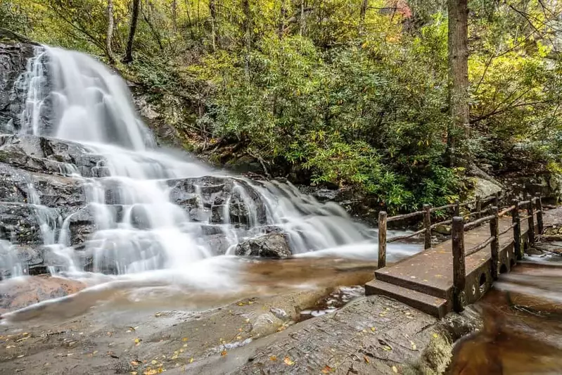
The Middle Prong Trail is one of the longer Smoky Mountain hikes in Tremont, at around 8.2 miles round trip. Even though it is long, most of the terrain is flat and wide. To reach the trailhead, drive up the gravel road near the Tremont Institute for 3.1 miles. You will see the sign at the end of the road. A major highlight of the trail is that it has 3 waterfalls, most of which are a collection of cascades called Lynn Camp Prong Cascades! The first one is Lower Lynn Camp Falls, which is located about half a mile from the trailhead. This is a 35-foot waterfall with multiple tiers. Lynn Camp Falls is 2.3 miles from the trailhead, and it is also multi-tiered. The third waterfall is Indian Flat Falls. The water falls a total of 60 feet in 3 separate tiers. In addition to waterfalls, keep your eye out for some fascinating historical remnants, including an old railroad beam and a 1920s Cadillac!
We hope you’ll explore the Tremont area and these Great Smoky Mountain hikes during your next trip to the national park! Want recommendations for more places to explore? Browse our guide to the Elkmont section of the Great Smoky Mountains National Park!